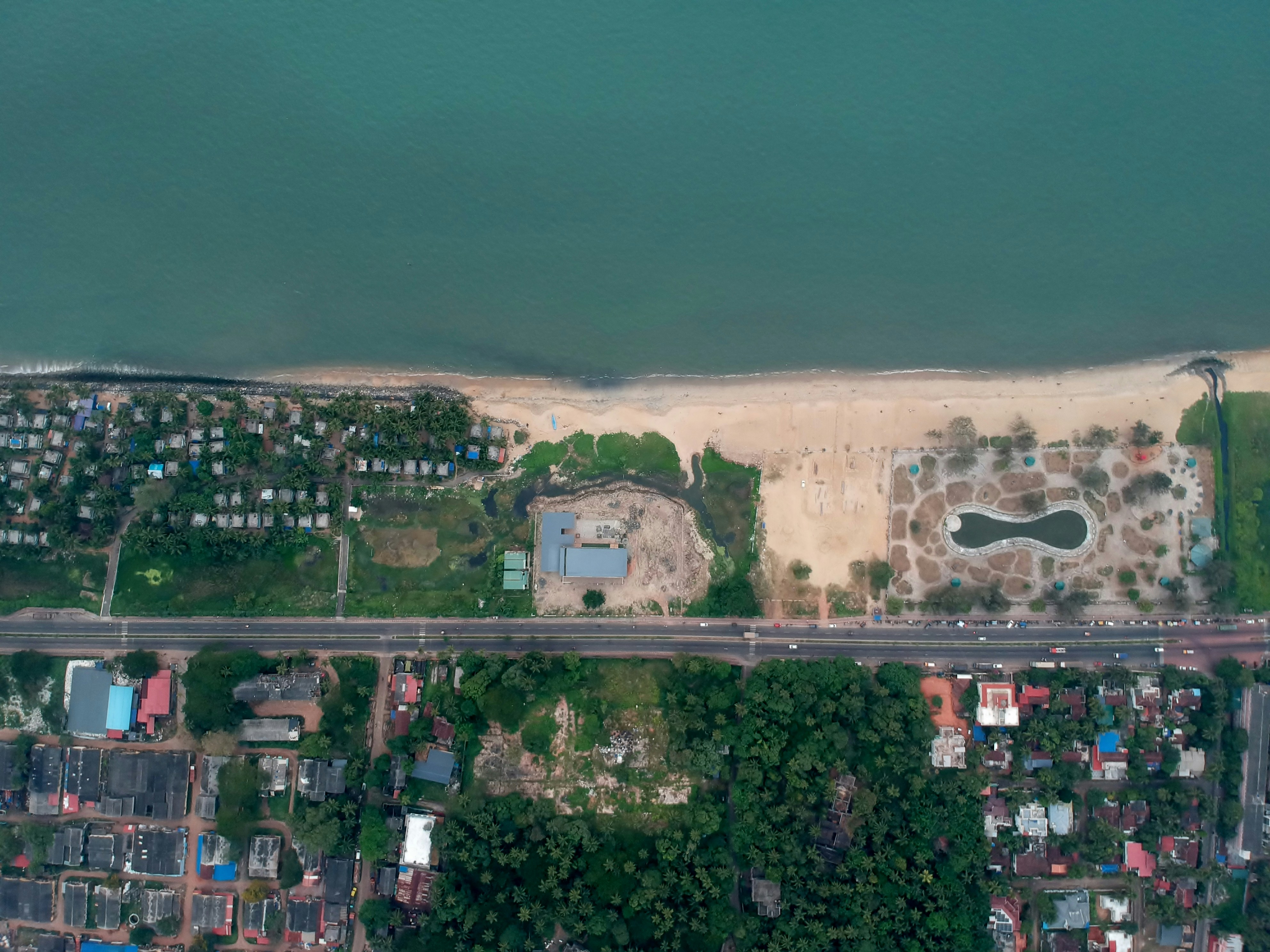
LAND USE AND LAND COVER CHANGE (LULC) AT KAMPUNG BAGAN PASIR, TANJUNG KARANG USING SATELLITE IMAGERY
Introduction
Background Information
- Land Use and Land Cover (LULC) changes are pressing environmental issues in coastal and mangrove areas like Kampung Bagan Pasir in Tanjung Karang, Malaysia, where human activities such as logging, urbanization, and aquaculture development degrade and fragment ecosystems, threatening local fisheries, coastal protection, and wildlife. Traditional field-based monitoring methods face limitations, making remote sensing with satellite imagery a practical alternative for tracking spatial and temporal LULC changes. This study aims to analyze these changes over recent decades, identify key drivers, and assess environmental impacts to guide conservation efforts and promote sustainable land management in the region.
Problem Statement
- This mangrove ecosystem provides critical habitat for a diverse range of species, supports local fisheries, and provides important ecosystem services such as carbon sequestration and coastal protection. However, this valuable forest is under severe threat from a variety of human activities, resultingin significant land use and land cover (LULC) changes that compromise its sustainability and health.
Research Objective
- To determine the spatial and temporal patterns of land use and land cover changes in the Kampung Bagan Pasir, Tanjung Karang over recent decades.
- To map the change detection for mangrove swamp forest in Kampung Bagan Pasir, Tanjung Karang
Significance of The Study
- This study is significant as it aims to have significant implications for both natural ecosystems and human societies. Examining LULC changes in Kampung Bagan Pasir, Tanjung Karang, using remote satellite data offers important new perspectives on the scientific, policy, economical, and environmental aspects of managing mangrove ecosystems.
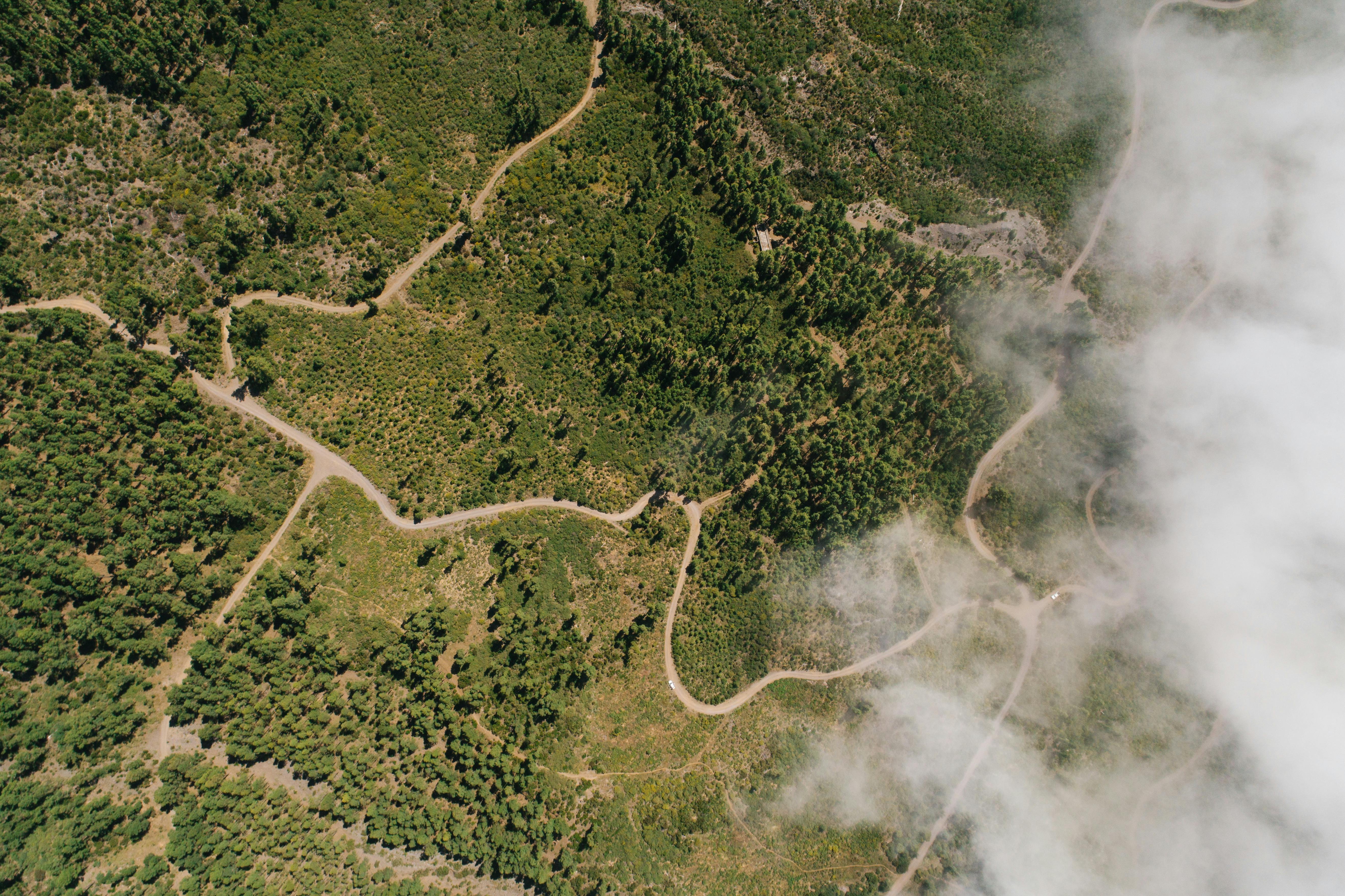
Methodology Preview
Scope and Limitation
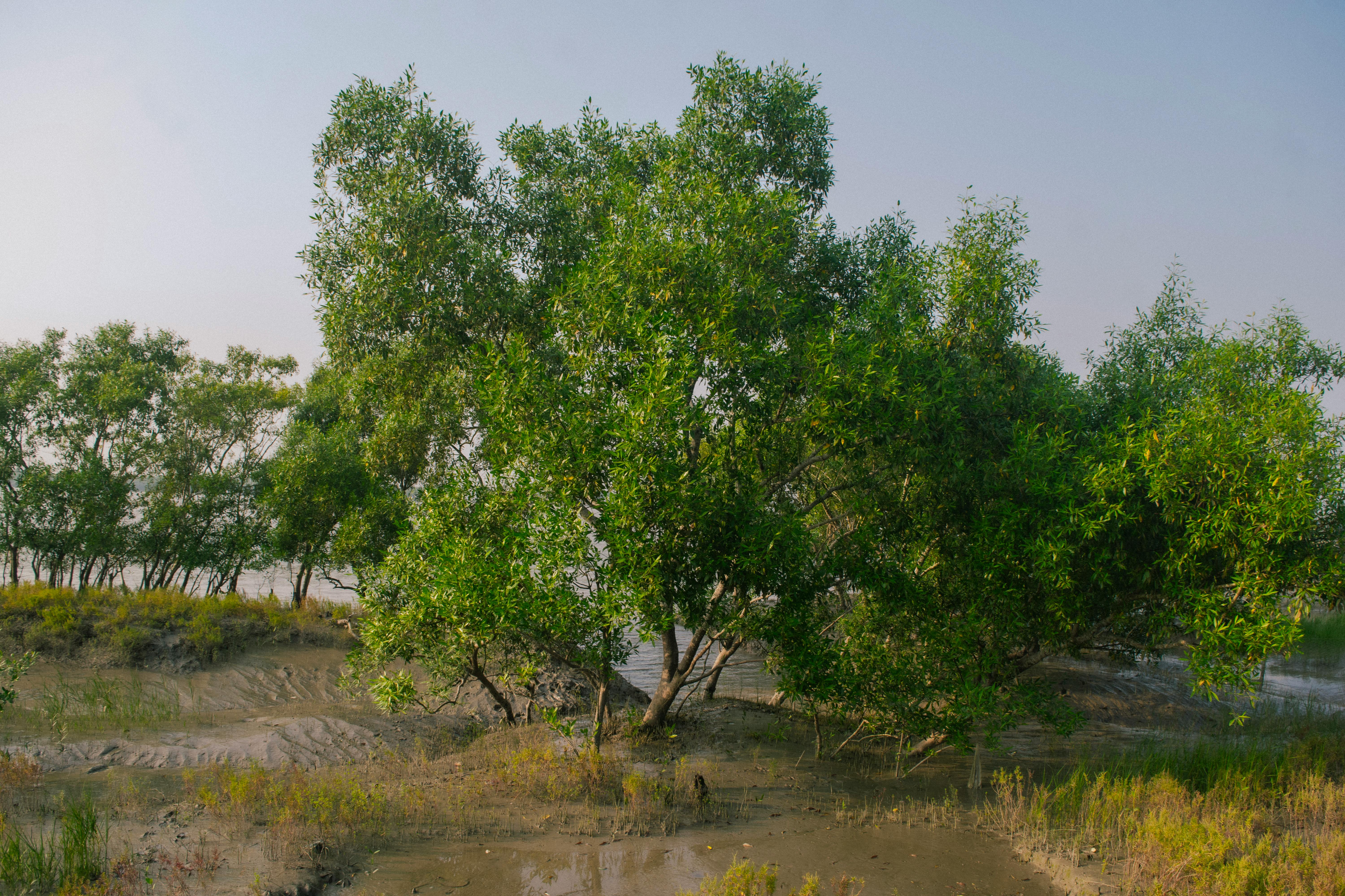
Study Focus: Mangrove Ecosystems at Risk
This research assesses land use and land cover (LULC) changes in Kampung Bagan Pasir's mangrove ecosystems from 2000 to 2025. Mangroves here are vital for coastal protection, biodiversity, and carbon storage, but face threats from urbanization, aquaculture, and natural processes. The study maps these changes using satellite data to guide sustainable management strategies.
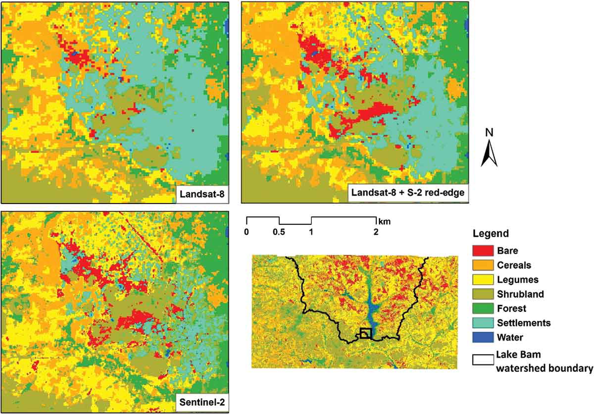
Challenges in Remote Sensing Analysis
The study relies on satellite imagery (Landsat, Sentinel, ALOS) but faces limitations like cloud cover, sensor inconsistencies, and coarse resolution (10-30 m), which may miss fine-scale mangrove changes. Advanced techniques like machine learning (Random Forest, NDVI) help, but ground truth data is scarce due to tough terrain and tidal effects, impacting accuracy.
Policy Gaps & Conservation Strategies
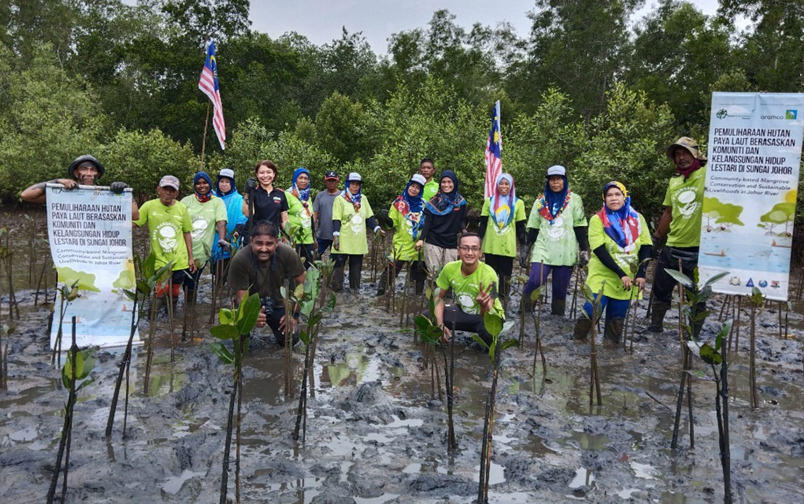
Beyond technical hurdles, inconsistent policies and poor interagency coordination hinder conservation. Conflicting land-use priorities and limited access to high-resolution data challenge planning. Effective mangrove management requires collaboration between governments, scientists, and local communities to balance development and ecological sustainability.